Image
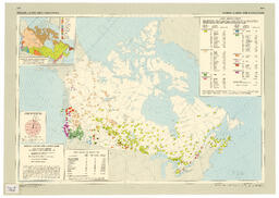
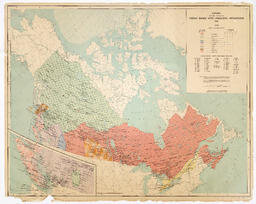
Commercial off-print of map from Department of Energy, Mines and Resources Canada; (1973). The national atlas of Canada, ed. 4
Digital Document
2 photocopied maps and 1 handrawn map of Russia and Lithuania with handwritten notes in red pen outlining the Lithuania boarder and the location of Sczidiki/Zidikai and Memel.
Image
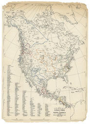
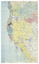
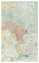
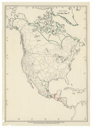
Preliminary sketch for the map "North American Indian Languages" by Dale Kinkade. Kinkade sketched out the boundaries of several language families on a copy of [map name and creators] using the tribal boundaries on the map as the extent of…
Image
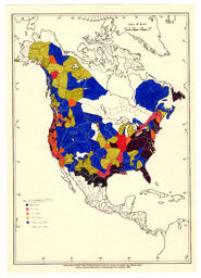
Printed map with hand-coloured annotations (by Dale Kinkade) showing number of speakers of North American indigenous languages in 1962.
Image
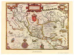
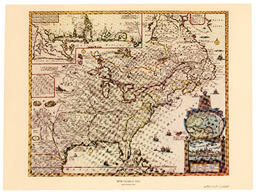
Facsimile of a map of North America first created in 1600 by Gabriel Tatton and Benjamin Wright. facsimile produced by American heritage Magazine
Image
Facsimile of a map of New France first produced in 1745. Facsimile printed by American Heritage Magazine
Image
Image
Image
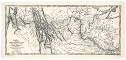
Facsimile map depicting Lewis And Clark's trek across Western North America (1804-1806). Map is a copy by Lewis of a map by Clark and includes notations about indigenous territory as well as population numbers for various tribes. Several rivers…
Image
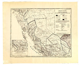
Map of distribution of indigenpus ethnic groups ca. 1850. Map was produced by the Government of British Columbia in 1956. Divisions are based on linguistic groups and include demarcation by language family; language group and dialect groups. GOV-4…
Image
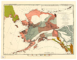
Facsimile map of Alaska (originally printed in 1875) showing distribution of indigenous tribes in Alaska. Includes inset map of Aleutian Islands.
Image
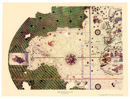
A facsimile of a map of North America first printed in 1500. Facsimile printed by American Heritage Magazine
Image
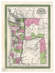
Facsimile map of Oregon and Washington. Facsimilie produced by Shorey Bookstore in Seattle, WA in 1966 of an original map produced by A. J. Johnson in 1865. Map shows state and county borders. Also indicates location of various indigenous tribes.
Image
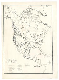
Positive (photostatic?) print of map of North American Indian Languages printed on Kodak paper. Map includes title; legend and reference markers and is in black and white.
Image
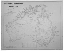
Map of Australia showing the distribution of Indigenous languages. Shows distribution of family; group; subgroup language and dialect. Map is signed by Geoff O'Grady. Includes bibliography
Image
Printed map with hand-coloured annotations (by Dale Kinkade) showing age range of speakers of North American indigenous languages in 1962.
Image
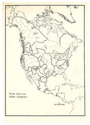
Positive (photostatic?) print of map of North American Indian Languages. This is a print of the map with a title but no legend.
Image
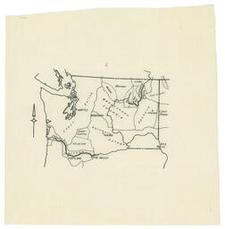
Hand drawn map (appears to be traced) showing First Nations territories in Washington State.
Image
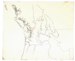
Hand drawn map (appears to be traced) showing First Nations territories in Northwest Coast of North America. Map is annotated with the names of indigenous languages in red indicating the regions in which they are spoken. Each language name is…
Image
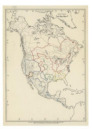
Preliminary sketch for the map "North American Indian Languages" by Dale Kinkade. Kinkade sketched out the boundaries of several language families on a copy of a commercial map using the tribal boundaries on the map to mark the extent of…
Image
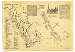
Diazo print (blue-line) mock-up of map for the Historical Atlas of Canada. The print shows the cartographic portion of the map and the location of the text blocks is noted but contain no text. The final map appeared as map 66 in Kerr, D. P. P. (1987…
Image
Preliminary sketch for the map "North American Indian Languages" by Dale Kinkade. Kinkade sketched out the boundaries of several language families on a copy of a commercially available map of indigenous tribes using the tribal boundaries…
Image
Government issued map of Canada showing distribution of major indigenous language families. Includes inset map of southwestern BC.
Image
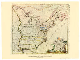
A facsimile of a map printed in 1783; printed by the American Heritage Magazine.
Image
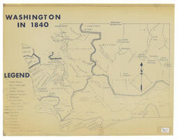
Diazo print (blue-line) mock-up of map Washington in 1840 of unknown provenance. Map shows distribution of indigenous groups throughout the state.
