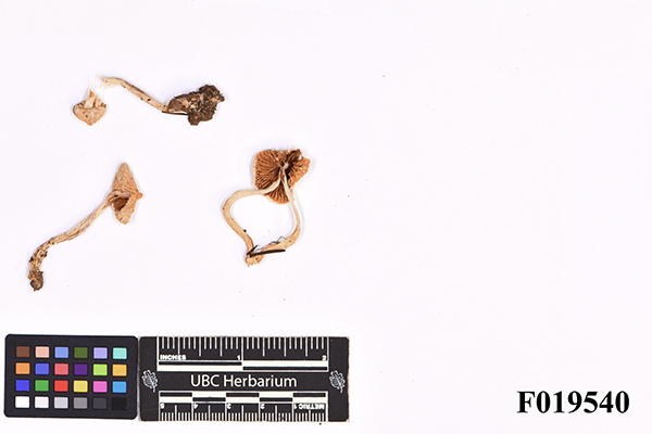
F019540 Oluna Label Summary Content type Content type Image Collection(s) Collection(s) Inocybe pallidicremea Grund & D.E. Stuntz Resource Type Resource Type Text
Summary Content type Content type Compound Object Collection(s) Collection(s) The Oldřiška Češková Fungi Collection Resource Type Resource Type Artifact Origin Information Origin Information Date Created/Date Issued 2008-10-17 Persons and Affiliations Persons Collector (col): Ceska, Oluna Contributor (ctb): P. Brandon Matheny, Rachel A. Swenie Abstract/Description Language Language eng Institutional Affiliation Department Department Herbarium Institution Institution UBC Physical Description Physical Form Physical Form dry specimen Relationships Related Item Related Item Relationship Type isVersionOf Title Mushroom Observer URL Mushroom Observer Identifier 330089 Relationship Type isBasisFor Title GenBank Identifier HQ604296 Identifiers Local Identifier Local Identifier F019540 Access and Rights Use License Use License CC0 1.0 Universal Subjects and Classifications Subject Topic Subject Topic mushrooms Hierarchical Geographic Subject Hierarchical Geographic Subject Canada British Columbia Saanich Peninsula British Columbia Victoria Observatory Hill in the ravine connecting the main road, shortcutting the paved road Coordinates Coordinates 48.521944444444, -122.57944444444


